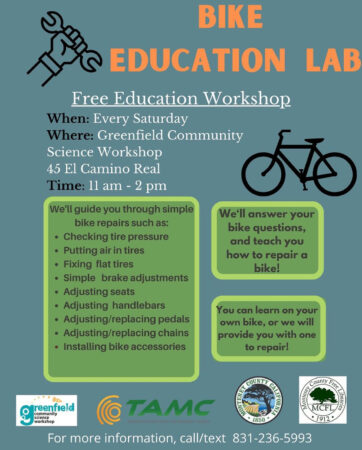
Posted by Founder, Bicycling Monterey
Bicycle maps / Mapas de bicicletas – en español and English for Monterey County
The Monterey County Bike Map en español y en inglés is provided, free of charge, in both print and online versions. Details below.
For more Monterey County bicycle maps (besides the two in this post)—plus some bike maps for other locations—refer to the 20-section Tips for Bicycling Monterey County guide’s Bicycle Maps section.
TAMC’s Monterey County Bike Map
2023 UPDATE: Monterey County – countywide map: The most recent countywide bike map from the Transportation Agency for Monterey County is the 2023 edition, which is available online and in print. Details: https://bikemonterey.org/2023-bicycle-map-for-monterey-county.html
The rest of this post has not been updated.
* * *
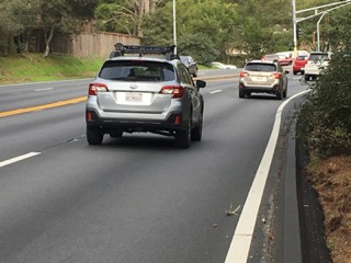
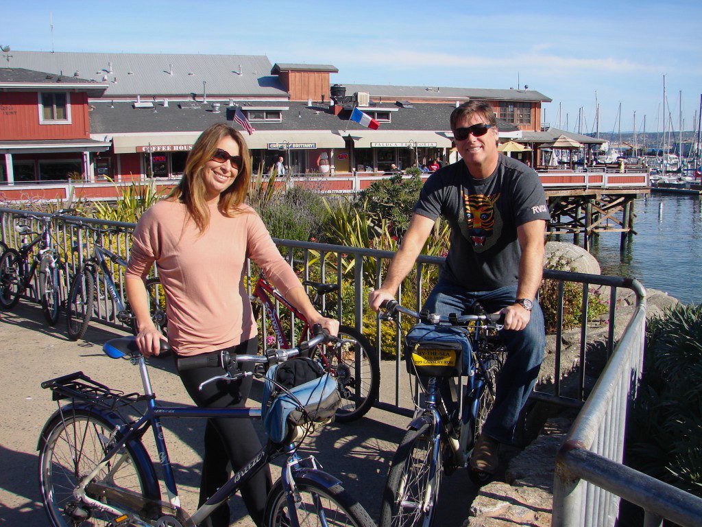
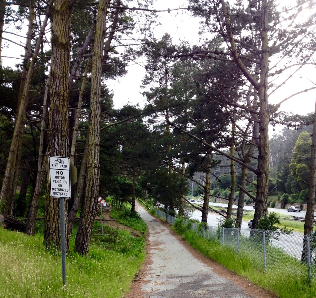
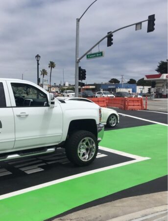
Whether you’re a visitor or a local, TAMC’s Monterey County bike map can help you find bikeways such as this Class I path parallel to Highway 1. The photo below shows this path just south of the Del Monte Shopping Center, heading toward Carmel.
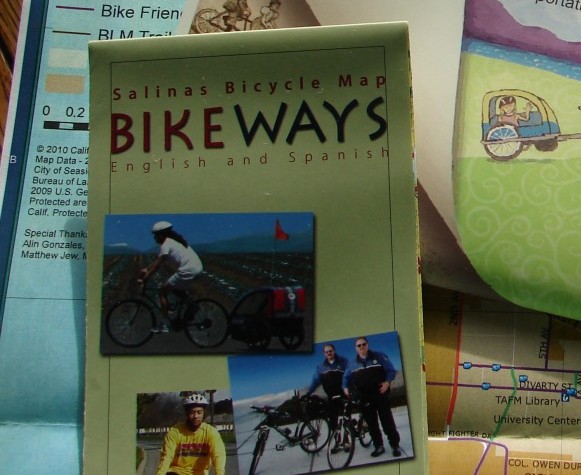
Salinas Bicycle Map
Salinas is the Monterey County seat and its largest city. View the Bicycle Facilities Map for the City of Salinas, en español y en inglés.
The City of Salinas Bicycle Facilities Map, in both English and Español ![]() Mapa De Las Instalaciones Para Bicicletas (Esp) (PDF) (12.52 MB).
Mapa De Las Instalaciones Para Bicicletas (Esp) (PDF) (12.52 MB).
In addition, refer to a newer maps web page on the city’s redesigned website: http://www.cityofsalinas.org/bikeways with various viewing options.
This post was published on 26 April 2016. One or more changes last made to this post on 16 April 2024.


")

")


")
")


")